The immediate goal of this project is to create two core, advanced OSINT training modules designed to meet the unique demands of environmental investigations:
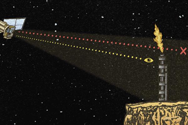
- Environmental Investigations: Focused on interpreting satellite data for environmental issues such as oil spills and pollution, advanced ship tracking, investigating illegal mining and deforestation, and analysing extreme weather events.
- Wildlife Investigations: Focused on digital footprint tracing of illicit traders, tracking animals online, deep-diving into leaked datasets, geolocation techniques, and navigating online wildlife marketplaces.
The urgency to support rigorous environmental journalism has never been greater, but the full potential of investigative open-source research for these purposes remains underutilised. We seek to cultivate a global expert network and develop a comprehensive suite of Open Source Investigation training modules to empower those investigating and reporting on environmental issues. Our goal is to train and equip a new generation of investigators with OSINT skills and establish a scalable framework for continuous methodological development and collaborative research.
Timeline and updates
- July - October 2026 – Development, testing and subsequent refinement of the two new training modules
- October – Decemer 2026 - Training sessions
In July, Foeke Postma, project lead and trainer, participated in the "Puma Fest" in Bogotá, an environmental journalism conference organised by Mongabay Latin America. Foeke presented the training materials to approximately 20 Spanish-speaking environmental journalists. This
session served as a successful test pilot, providing valuable feedback that will be used to further refine the training module.
A guide has already been made available for the community:
Burning Forests: Tools for Tracking and Reporting Wildfire Damage
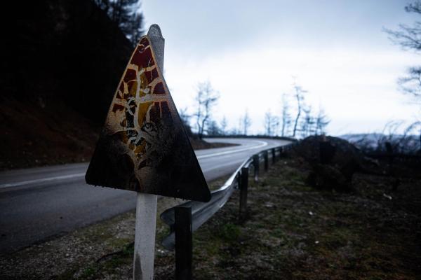
This guide outlines how investigators can use open-source intelligence tools like NASA FIRMS and the Copernicus Browser to track, analyse, and report wildfire damage. By using Sicily's Zingaro Nature Reserve as a case study, Bellingcat provides a workflow for combining satellite imagery and geographic software to assess ecological destruction.
The participant group of the first training will be selected from partner organizations in Europe who have already contacted the organisers with a request for such a dedicated training as a follow up from one of our training workshops in general open source skills. The group size is about 25 people.