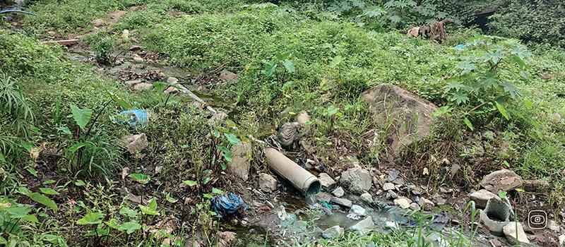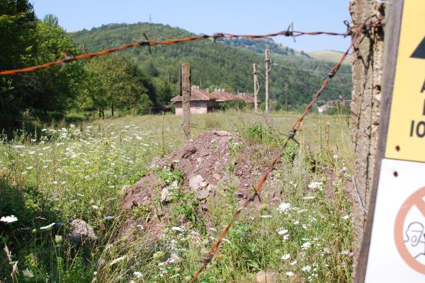

Across France, Italy, Bosnia and Herzegovina, and the Czech Republic, a mixed landscape emerges, where industrial transformation coexists with uneven environmental management.
In Italy, the gradual and uneven de-industrialisation of Stellantis has produced environmental and social impacts across different regions. Partially active or abandoned sites have contributed to depopulation, reduced territorial oversight, and neighbourhoods constrained by large unused industrial areas. A recurring issue is the lack of consistent environmental management and long-term care of these sites.
In Bosnia and Herzegovina, a once-developed and regionally integrated automotive industry was largely dismantled during the 1990s war. Today, a scattered network of abandoned sites persists, with limited ongoing production. Existing infrastructure offers reindustrialisation potential, but soil contamination and weak regulatory frameworks hinder reuse.
In France, as in Germany, restructuring has led to plant closures and raises questions about site remediation. While the “polluter pays” principle applies in theory, high costs often shift responsibility toward public actors. Soil decontamination remains underfunded and inconsistently implemented.
In the Czech Republic, industrial policy prioritises new investments, often favouring greenfield development over brownfield regeneration. Projects such as the planned battery plant in Dolní Lutyně highlight tensions between economic goals and environmental considerations.
This investigation highlights a structural gap: economic transition is strongly supported, while environmental responsibility remains uneven. Evidence suggests that without comprehensive remediation strategies, the green transition risks generating new environmental liabilities.
Key findings
- No coordinated EU strategy for remediation of contaminated industrial sites
- Uneven application of environmental responsibility principles
- Limited focus on soil decontamination
- Persistent impacts in post-industrial areas
- Preference for greenfield over brownfield development in some contexts
Methodology
This investigation combines fieldwork and satellite imagery analysis with on-the-ground research conducted across four countries. Geospatial data on land-use changes were cross-referenced with information gathered through site visits, interviews with local communities, workers, experts, and policymakers to validate the findings.
Photo by ©2026 Google, Map data